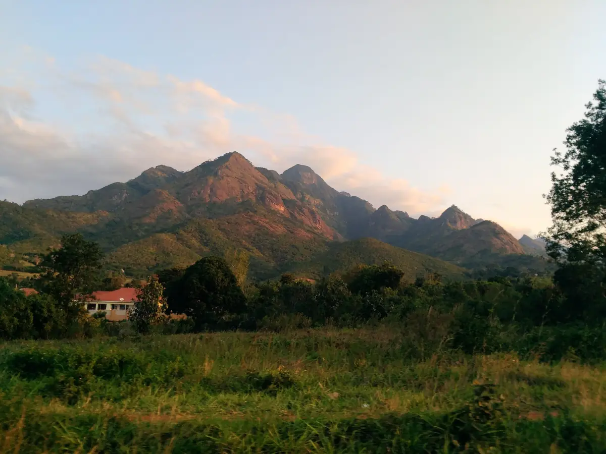
Uluguru Mountains: forest, peaks and villages
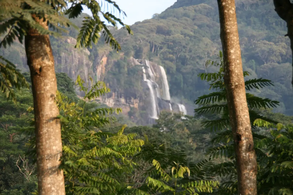
The Uluguru Mountains stand directly behind Morogoro. Their forest is protected as the Uluguru Mountain Nature Forest Reserve, about 24,115 hectares between Morogoro and Mvomero. It is managed by the Tanzania Forest Services, not by the national parks authority, so it is not part of Mikumi National Park and park fees do not cover it.
The reserve offers hiking, trekking, forest walks, camping and visits to cultural sites. The routes start from Morogoro, which is why the Morogoro town guide and this page belong together. If you want game drives instead, look at the Mikumi safari page.
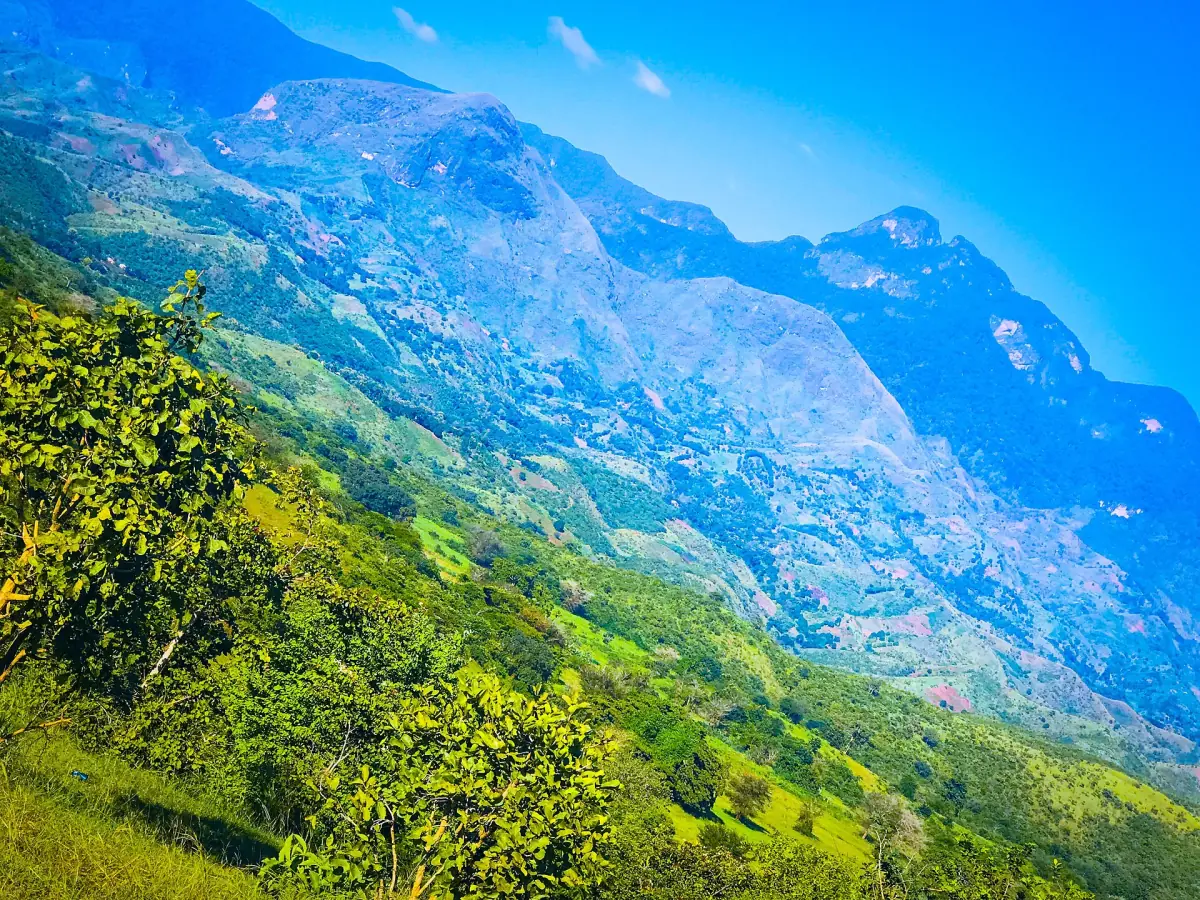
Uluguru Mountains hikes and routes
Four ways in from Morogoro.
Morningside to Bondwa
This route climbs from Morogoro through Morningside to Bondwa. Morningside has old settlements from the German period, and a university area of 6 ha at about 1,300 m carries the same name. Do not count on a museum or fixed opening hours there.
Kinole
The route to Kinole leads to the area linked to the Luguru chief King'alu and to Hululu waterfall and pool. Swimming at Hululu is an activity on offer, but that does not make every pool in the reserve safe or open.
Bunduki and Vinile
This route runs from Morogoro through Kibaoni and Bunduki to Vinile.
Nyandira, Tchenzema and Lukwangule
This route runs through Kibaoni and Nyandira to Tchenzema and the Lukwangule plateau.
Our pick: Uluguru overnight trek
A guided three-day trip into the mountains above Morogoro.
Hand-picked tours, booked through Viator. Prices are indicative starting prices in US dollars (as of October 2026). Tap a tour for live availability and the current price in your currency.
Day trips near Morogoro and the Uluguru Mountains
Guided trips around Morogoro and Mikumi, from day excursions to longer safaris. Compare what each tour covers.
Peaks and trail times
Treat the figures as a guide.
Kimhandu, at 2,638 m, is the highest peak in the reserve. Lupanga, at 2,138 m, is lower and is the better-known day hike. The massif as a whole is given as up to 2,743 m, so heights vary and you should not rely on one number.
| Trail | Time | Note |
|---|---|---|
| Lupanga | About 6 hours return | Starts at the end of Forest Hill Road. Not advised in heavy rain. |
| Tegetero | About 8 hours | A long day, so start early. |
| Lukwangule from Tchenzema | 4 to 6 hours return | Reached via Kibaoni and Nyandira. |
These times are approximate, and trail conditions change. Ask a local guide about the path before you leave, and do not hike alone.
Fees, guides and permission
Pay the conservator before you enter the reserve. A fee of $10 for foreign visitors dates from 2013, so ask for the current rate. Village, community and guide charges differ by route, and they can change. Ask at the forest office in Morogoro before you set out.
Arrange a guide through the office or your accommodation, and ask whether a guide is needed for your route. This is not the same as paying park entry in Mikumi, where the park fees work differently.
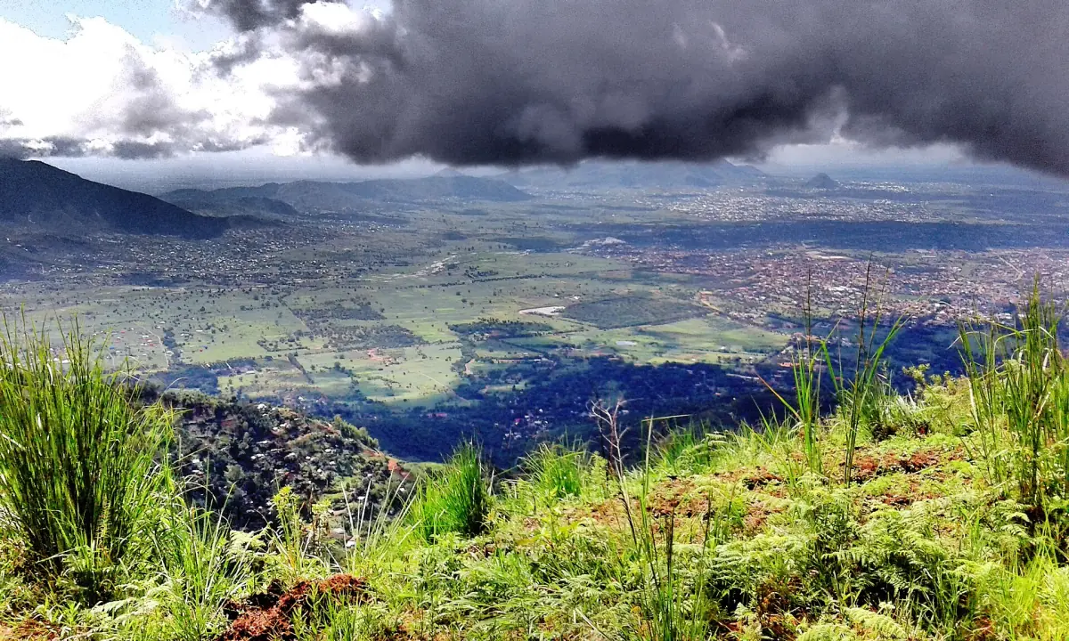
Luguru villages and respect
People live and farm on these slopes.
The Luguru people live in the mountains, and the reserve has cultural sites and the seat of the traditional chief King'alu. There are no fixed performances, and private land is not open by default. Visit with a guide who knows the village, ask before you enter or photograph, and treat the visit as a conversation with neighbours, not a show. Camping in the reserve is also possible. Ask the forest office where you may pitch.
Practical notes for a Uluguru hike
Four things to arrange before you set out.
Pay and register first
Settle the reserve fee with the conservator before your visit, and tell your accommodation which route you take and when you plan to be back.
Start early
The longer trails take 6 to 8 hours. An early start keeps you off the slopes in the heat and gets you back before dark.
Watch the rain
The Lupanga guidance advises against the hike in heavy rain. The main wet months in this part of Morogoro run from March to May and from October to December, so ask locally about the path in those months.
Carry what you need
Bring water, a rain layer and shoes with grip. Phone coverage on the slopes is not something to rely on.
Combine the Uluguru Mountains with other stops
Pages that fit the same trip.
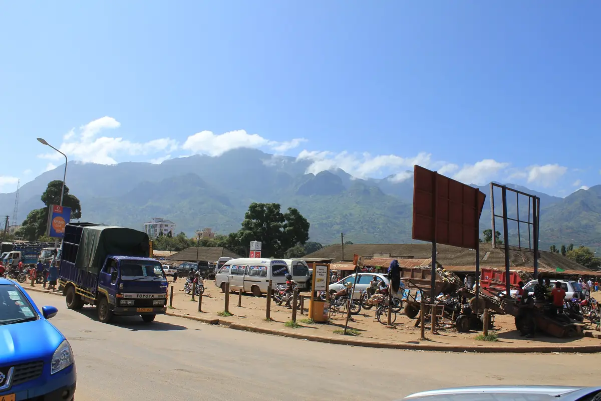
Uluguru Mountains: frequently asked questions
What is the highest peak in the Uluguru Mountains?
Kimhandu, at 2,638 m. Lupanga is lower, at 2,138 m. The massif as a whole is given as up to 2,743 m.
How do I get to the Uluguru Mountains?
The routes start from Morogoro, towards Morningside and Bondwa, towards Kinole, and on to Bunduki and Nyandira. Ask the forest office which route suits your time.
How long does the Lupanga hike take?
About 6 hours return from the end of Forest Hill Road. It is not advised in heavy rain.
Do I need a guide in the Uluguru Mountains?
Ask the forest office for your route. Do not walk the trails alone, and use a local guide in villages.
Do Mikumi park fees cover the Uluguru Mountains?
No. The reserve is run by the Tanzania Forest Services, and its fees are separate from the Mikumi park fees.
Can I camp in the Uluguru reserve?
Yes, camping is possible in the reserve. Ask the forest office in Morogoro where you may pitch.