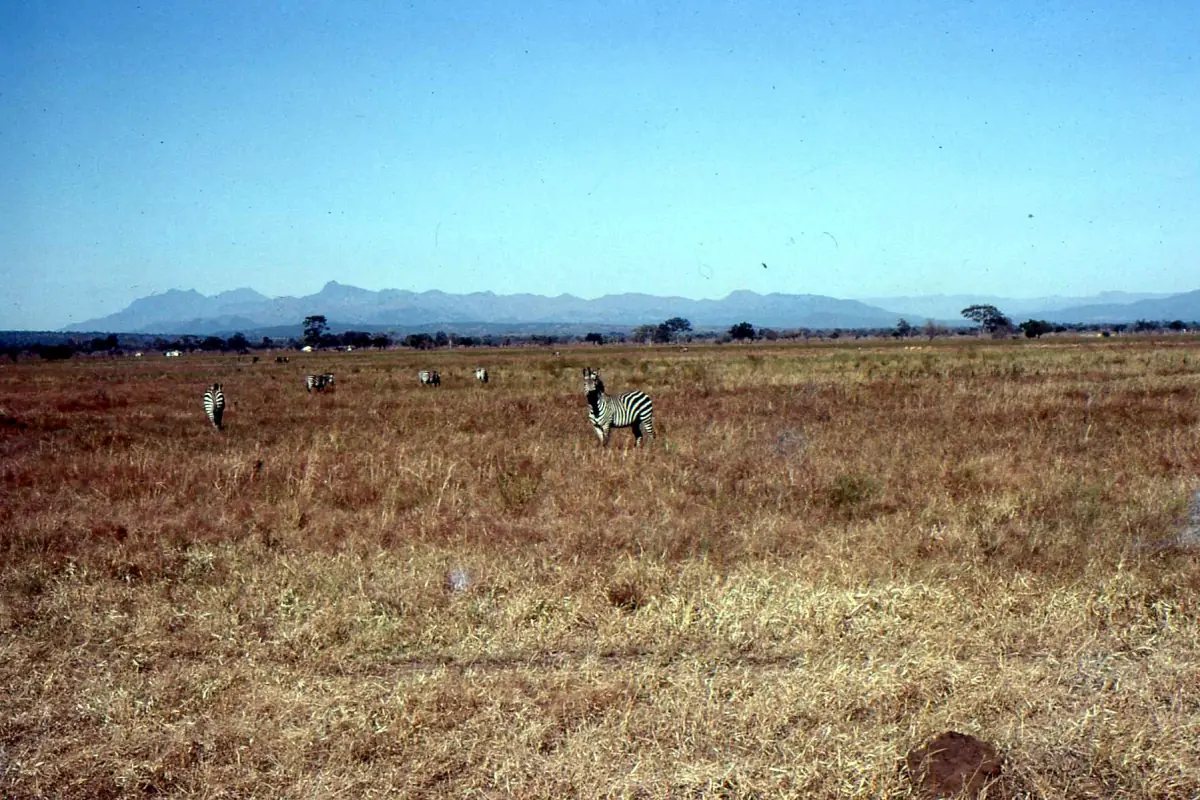
Mikumi National Park history in brief
Mikumi National Park was established in 1964 with an area of 1,070 km². By 1975 it had been enlarged to 3,230 km², the area still given for the park today. The park lies in Morogoro Region and is run by Tanzania National Parks, TANAPA.
Park and town share the name Mikumi, which is traced to the Borassus palms of the area. What matters for a visitor is the setting that this history produced: a wide floodplain, a national highway through the middle of it, and a park that is part of a larger landscape that reaches south to the Nyerere and Selous area. If you want to see the plain, start with Mikumi safari.
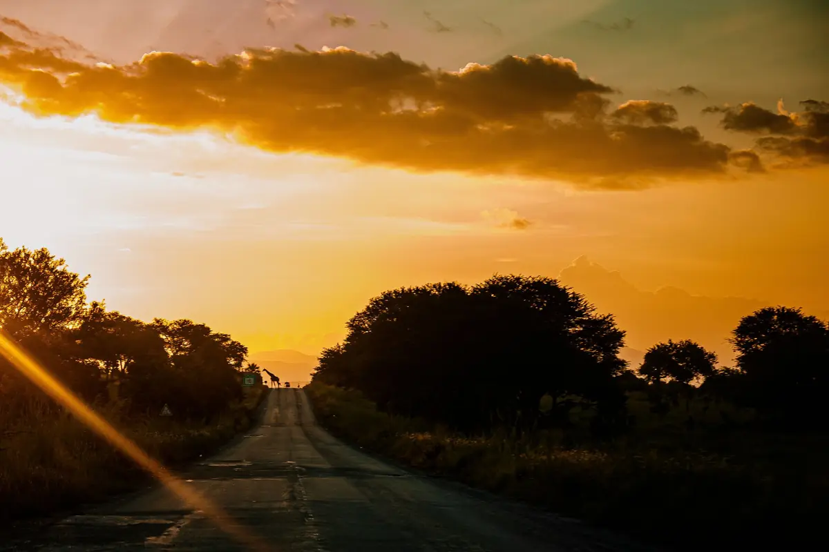
Timeline of Mikumi
The main dates for the park and its road.
| Year | What happened |
|---|---|
| 1964 | Mikumi is established as a national park, at 1,070 km². |
| 1973 to 1974 | First paving of the highway through the area. |
| 1975 | The park is enlarged to 3,230 km². |
| 1989 to 1990 | The highway is upgraded. |
| 1992 | The neighboring Udzungwa Mountains National Park is established, at 1,990 km². |
| 2026 | A concrete rebuild of a 600 m section near the Mikumi weighbridge is announced. |
The road dates are an outline. They show when the highway was paved and upgraded, not when the first track was built.
Our pick: a day safari in the park
See the park on a guided day trip from Dar es Salaam.
Hand-picked tours, booked through GetYourGuide. Prices are indicative starting prices in US dollars (as of October 2026). Tap a tour for live availability and the current price in your currency.
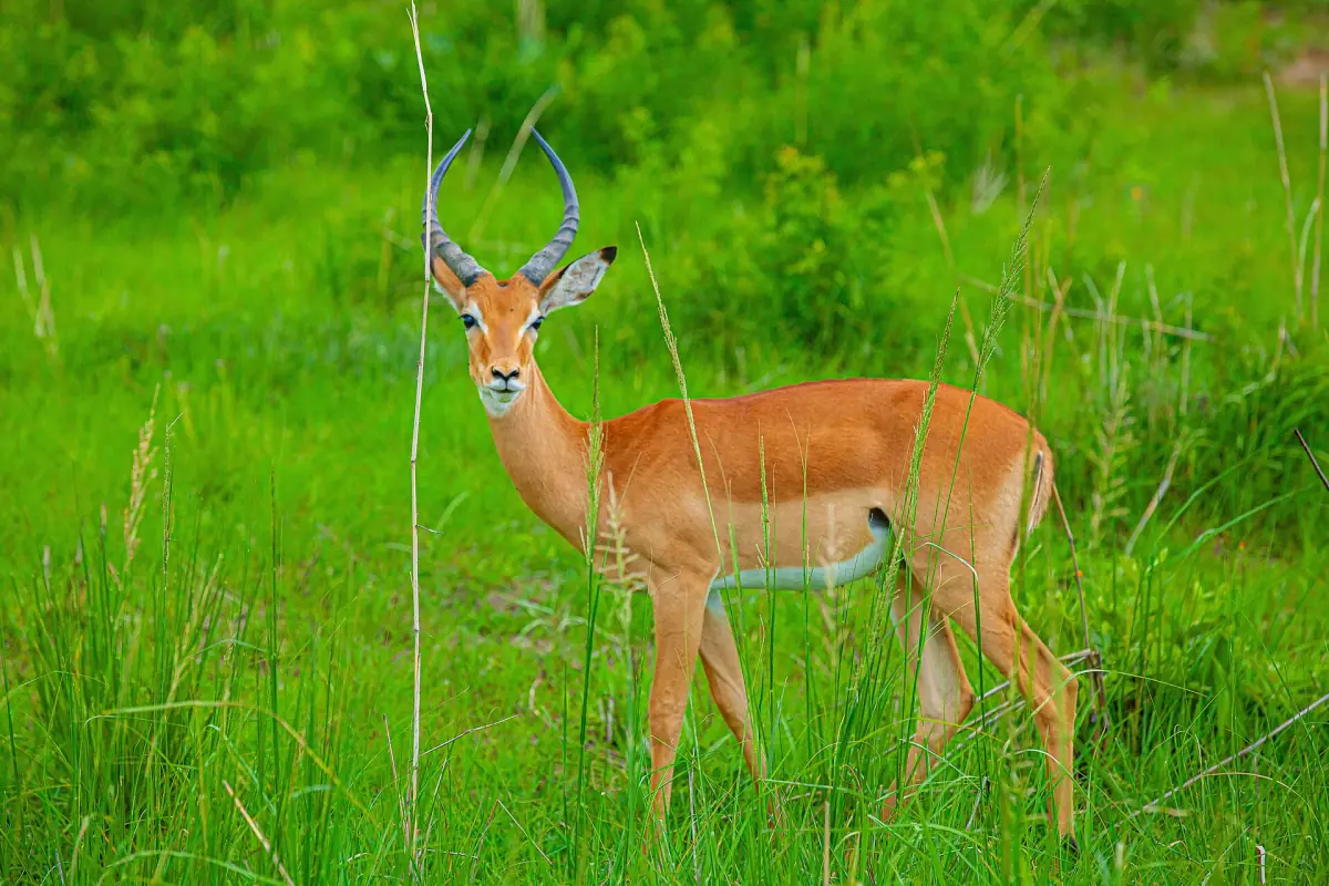
Mikumi safaris and day trips
Guided Mikumi safaris from Dar es Salaam and Zanzibar, with live prices and availability.
The highway through the park
How the road changed the park, and what it means today.
A national road through a national park
The A7, also known as the TANZAM Highway, links Dar es Salaam, Morogoro and the south. About 50 km of it runs inside Mikumi. For visitors it is the way in. For wildlife it cuts habitat in two.
Getting to Mikumi →Animals and traffic
The road splits habitat and brings collisions with animals. Between 1973 and 1988, 456 large mammals died on it. That is a historic count. Baboons use the road, so do not feed them.
Feeding and litter
The park bans feeding animals, and keeping that ban in force is the most practical way to limit harm on the road. Do not feed baboons or other animals from your vehicle, and keep your rubbish with you.
Road works
A concrete rebuild of a 600 m section near the weighbridge on the Morogoro to Mikumi road was announced in February 2026, together with paid truck parking and lighting. There is no completion date, so allow extra time on the stretch.
Mikumi in the larger landscape
The park today and its neighbors.
The Mkata Floodplain and the pools
The park's core safari area is the Mkata Floodplain, with open grassland, seasonal water holes and woodland at the edges. Water points include the Mkata River, the Hippo Pools and the Mwanambogo Pool. Animals include elephant, buffalo, zebra, wildebeest, giraffe, lion, leopard and spotted hyena, plus hippo and crocodile at the water.
Mikumi wildlife →Nyerere and Selous
Mikumi belongs to the larger Nyerere and Selous landscape to the south. The name Selous no longer stands unchanged for every protected area there, and the ecological link is not an open driving route between the parks. For that part of the story see the Selous history and the Nyerere history.
Udzungwa and the Uluguru Mountains
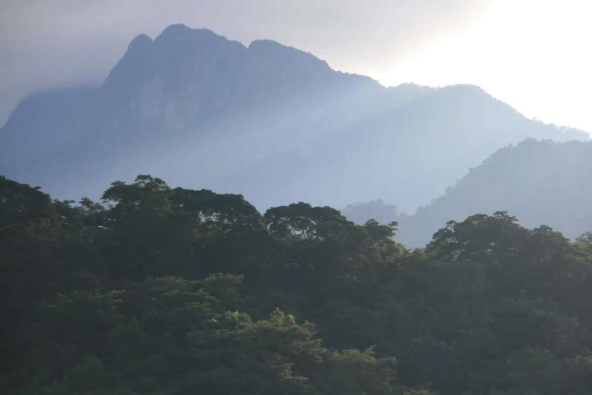
Udzungwa was set apart in 1992 as a separate national park of rain forest, reached via Mikumi town and Mang'ula. The Uluguru Mountains above Morogoro are a forest reserve run by the forest service, with cultural sites linked to the Luguru people, including the seat of the traditional chief King'alu.
Uluguru Mountains →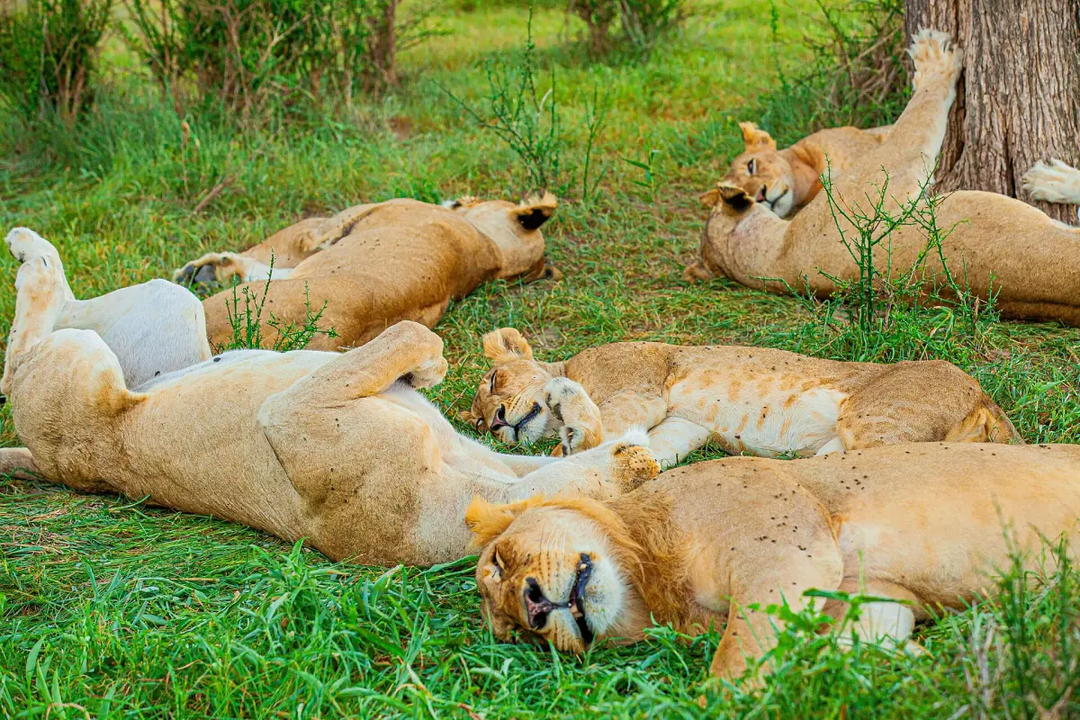
What the history means for your visit
Three practical points.
Drive slowly
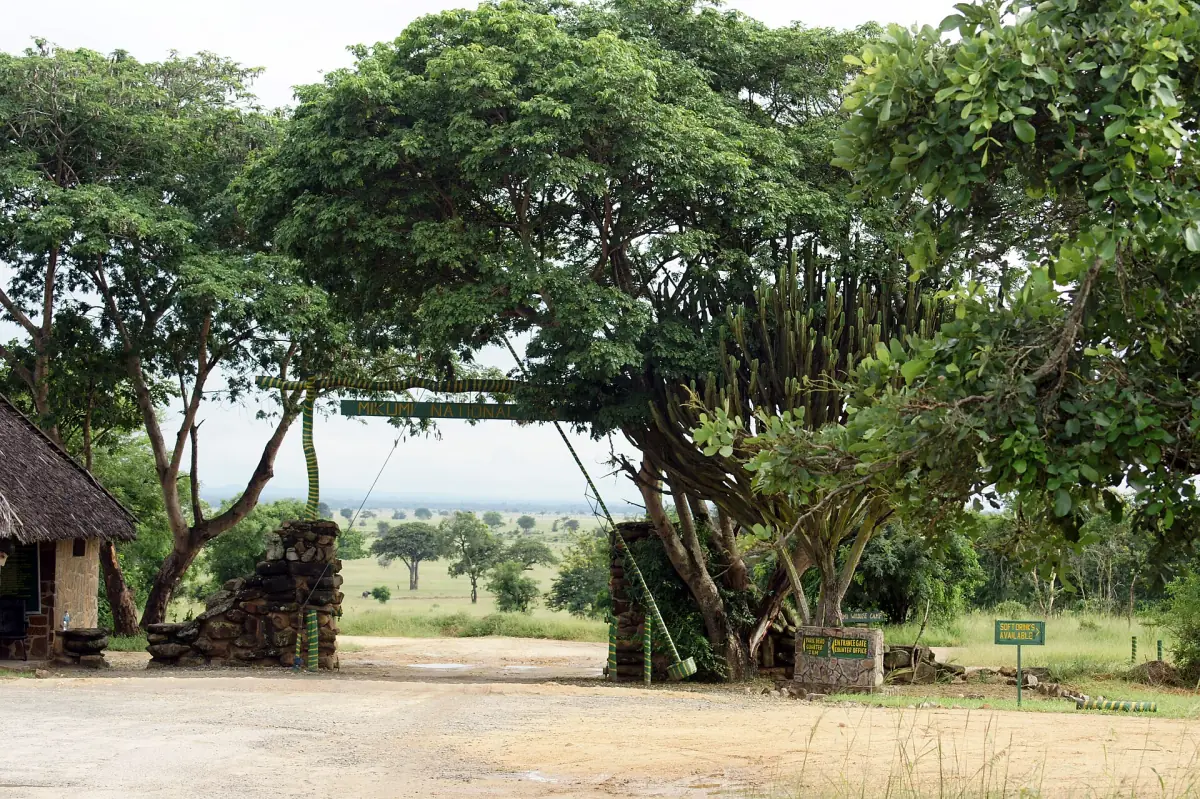
The road is shared with wildlife. Follow the speed limit, expect animals on the road and drive only in daylight. The park gate normally closes at 18:00.
Stay on the tracks
Use the designated tracks and leave your vehicle only at permitted places or on an authorized guided walk. Do not approach hippo pools or elephant herds on foot.
Plan around the season
The dry season from June to October is the best-known time for wildlife viewing. See Mikumi weather for more.
Mikumi history: frequently asked questions
When was Mikumi National Park founded?
In 1964, with an area of 1,070 km². It was enlarged to 3,230 km² by 1975.
How big is Mikumi National Park?
The park covers 3,230 km², the area it reached in 1975.
Where does the name Mikumi come from?
Park and town share the name, which is traced to the Borassus palms of the area.
Why does a highway run through the park?
The A7 is the national road that links Dar es Salaam, Morogoro and the south. It was paved in the 1970s and upgraded around 1990, and about 50 km of it lies inside the park.
Is Mikumi linked to Nyerere and Selous?
Mikumi belongs to the same larger landscape to the south, but there is no open driving route between the parks. Nyerere National Park has its own fees and tickets.